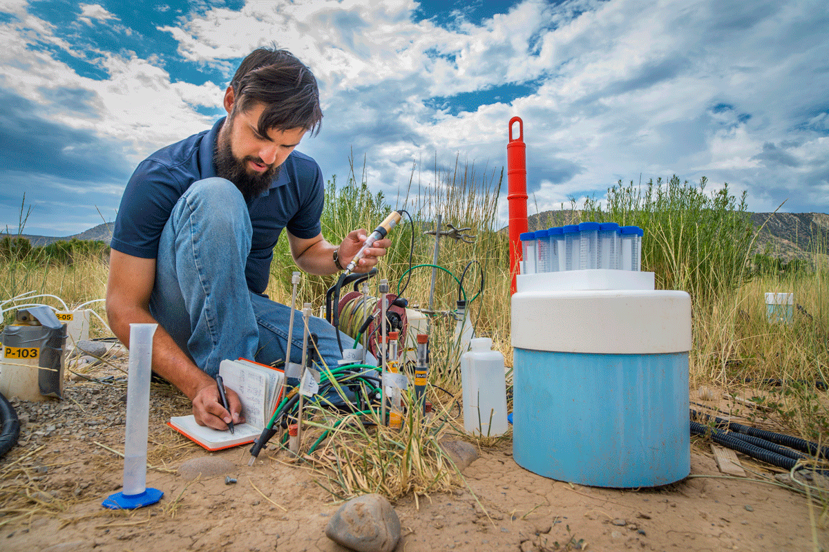
From forests to wetlands and the subsurface to the exosphere, Earth is a collection of complex ecosystems and processes. We’ve pioneered approaches to explore these in the laboratory and in remote and extreme field environments to better understand ecological and climate systems.
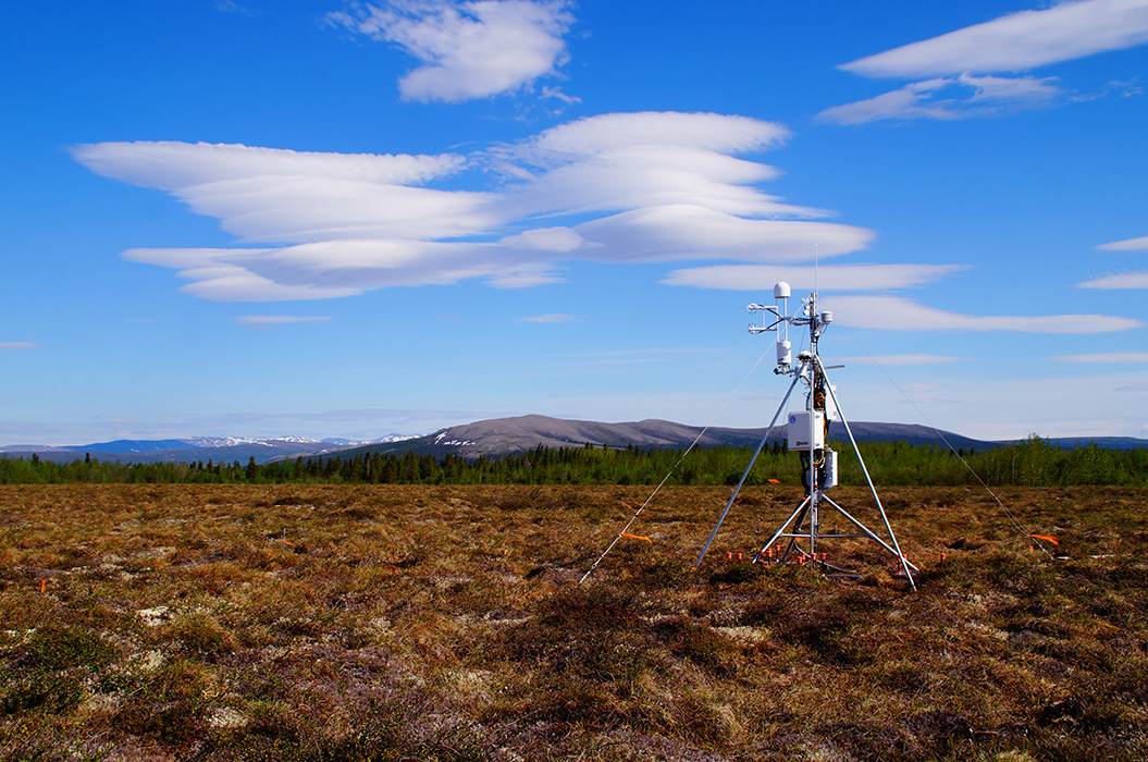
Autonomous and remote sensing
Develop and deploy community observatories, nimble and networked sensing systems, and scale-adaptive tools to observe and simulate processes across space and time.
Custom instrumentation
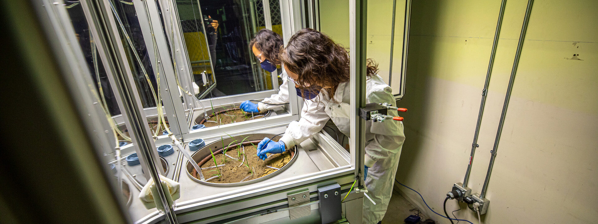
Build, develop, and deploy customized Earth science instrumentation at the unique DOE Geosciences Measurement Facility.
Subsurface investigation
Develop tools for probing and monitoring Earth’s subsurface to examine potential for carbon storage, hydrogen, and geothermal energy.
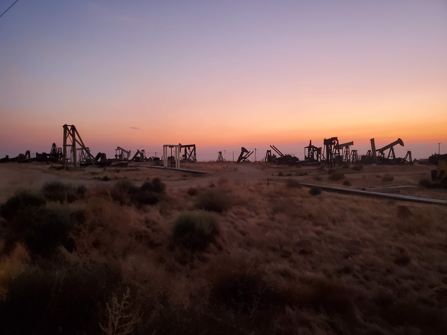
Critical infrastructure
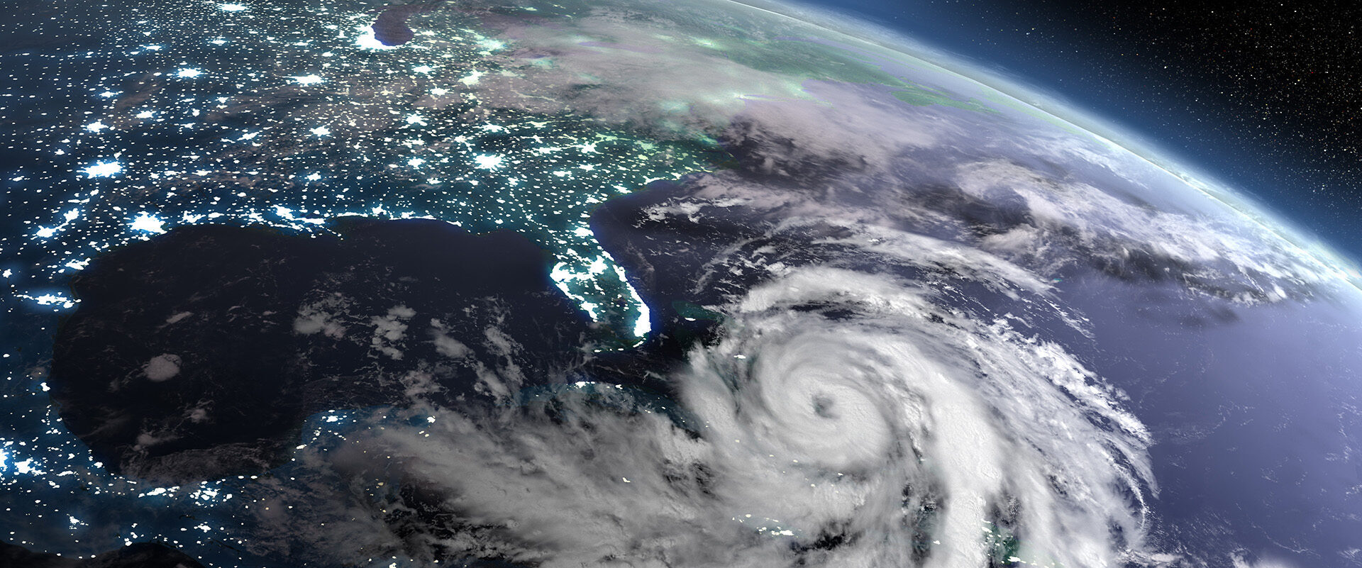
Understand and improve critical infrastructure resilience to leaks and natural hazards.
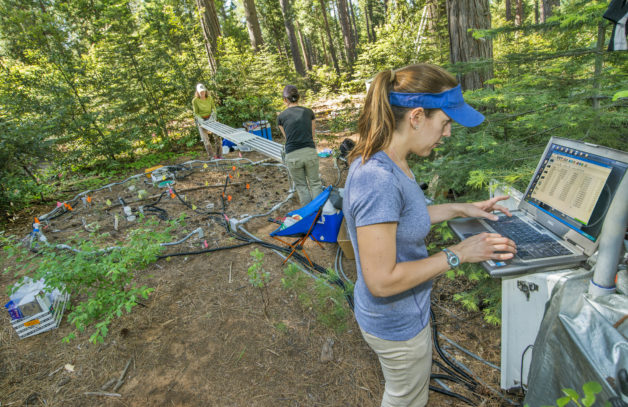
Watershed Scientific Focus Area
Developing tools to measure and predict how droughts, early snowmelt, and other disturbances affect water availability.
SUMMATION
Developing tools and methods to identify high-emissions methane hotspots.
Next-Generation Ecosystem Experiments–Tropics (NGEE-Tropics)
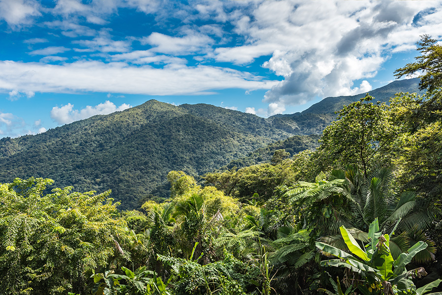
Advancing model predictions of tropical forest carbon cycle responses to various climate conditions.
Wildfire research
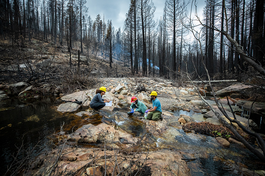
Incorporating data from burned areas within models to predict how wildfires affect ecosystems.
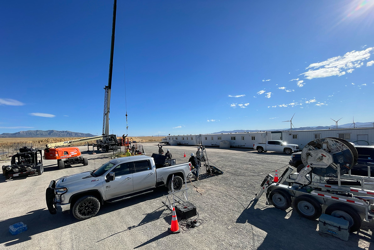
Geothermal Systems Program
Developing technologies to explore natural hydrothermal systems and enhanced geothermal systems.
Geosciences Measurement Facility
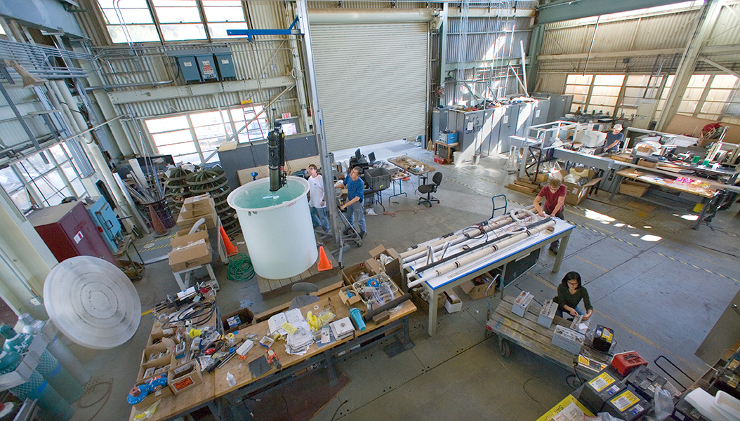
Designing, building, testing, and deploying customized Earth and environmental science instrumentation.
AmeriFlux
Supporting a network of principal investigator-managed sites measuring carbon, water, and energy fluxes across the Americas.
Belowground Biogeochemistry Scientific Focus Area
Developing predictive capacity of soil’s role in global models of ecosystem climate interactions.
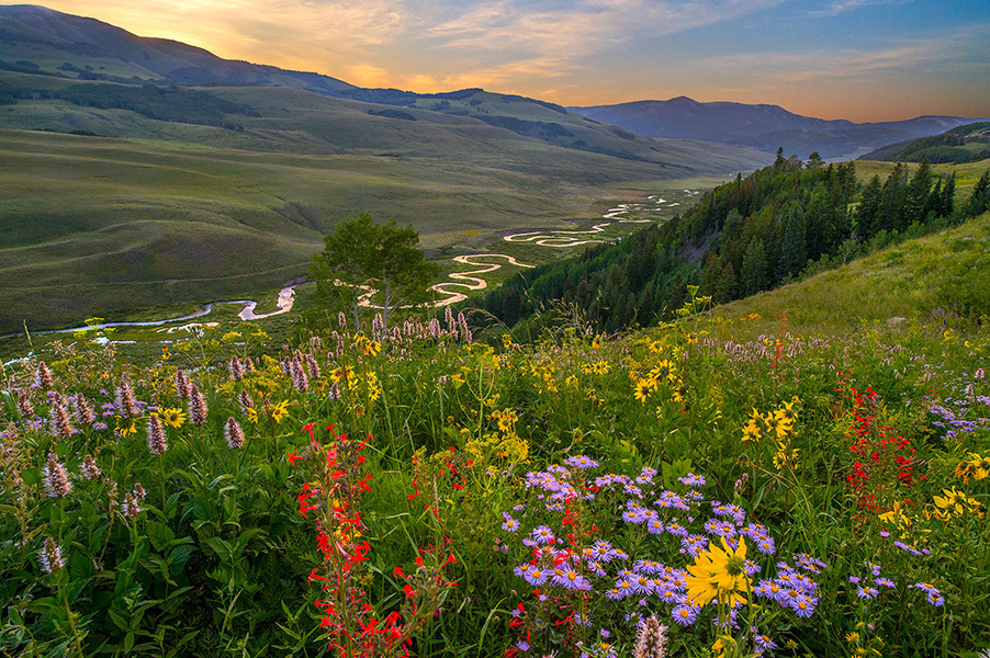
Surface Atmosphere Integrated Field Laboratory (SAIL)
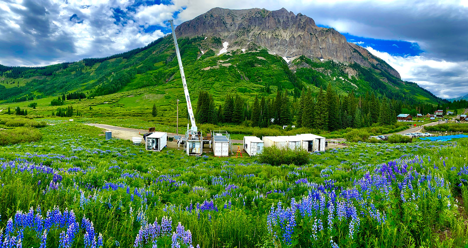
An advanced atmospheric observatory exploring factors that affect how mountainous watersheds in the Rocky Mountains deliver water.
Environmental Systems Science Data Infrastructure for a Virtual Ecosystem (ESS-DIVE)
A data repository that collects, stores, manages, and shares earth and environmental systems data created through research sponsored by the U.S. Department of Energy.
Charuleka Varadharajan is a computational Earth scientist focusing on machine learning and data solutions for energy and environmental applications. She leads the Earth AI and data program, with broad expertise in water resources, natural hazard impacts, contaminant remediation, and hydrocarbon management.
Nori Nakata is a Staff Scientist in the Energy Geosciences Division with extensive expertise in seismic imaging, microseismic monitoring, induced seismicity, and subsurface utilization. He has developed new techniques for analyzing geophysical data with new acquisitions and AI, and has authored or coauthored over 90 peer-reviewed papers on these topics.
Harry Lisabeth is a research scientist in the Energy Geosciences Division. His research focuses on the interaction between chemistry and materials under stress and utilizing novel experimental tools to characterize material behavior under conditions relevant to the Earth.
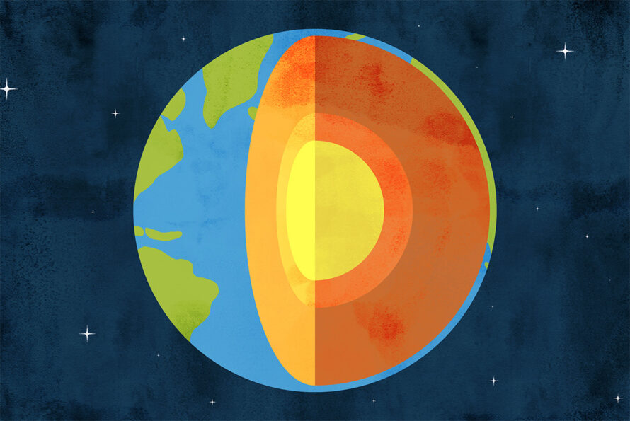
Scientists and industry operators are developing enhanced geothermal systems, engineered reservoirs in Earth’s subsurface, to access the constant heat deep underground, where higher temperatures at greater depths can be used to produce affordable, round-the-clock energy.
Elaine Pegoraro is looking underfoot for answers to questions about the atmosphere above. The postdoctoral researcher is studying whether soil organisms in grasslands react to increasing temperatures by storing more carbon or releasing more carbon. This work will help us understand the planet’s future carbon balance.
Geothermal energy taps into the Earth’s natural heat—but what happens when that heat isn’t easily accessible? Berkeley Lab scientists are working to solve that problem through enhanced geothermal systems, or EGS. In this episode, we talk with Eva Schill, program lead for geothermal systems in the Energy Geosciences Division, about the promise of EGS, what makes it different from conventional geothermal energy, and why Berkeley Lab is uniquely positioned to drive this technology forward.
Fervo Energy: Pioneering Next-Generation Geothermal Power
Conventional vs. Enhanced Geothermal: What’s the Difference?
Peter Nico Appointed Director of Berkeley Lab’s Energy Geosciences Division

Frontier Computing

Water Innovation

Microbes to Ecosystems